Long-distance and mountain trails

Author: Foto Vidmar
Juliana_trail___ig_pohodnik_stara_sava_foto_Vidmar.jpg
Author: Foto Vidmar

Juliana Trail

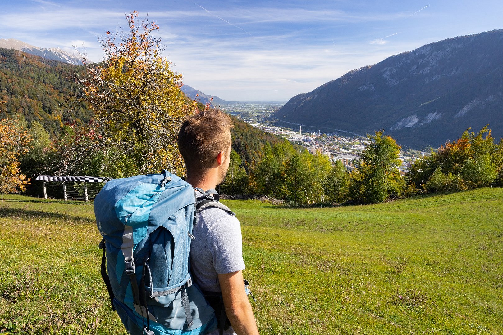
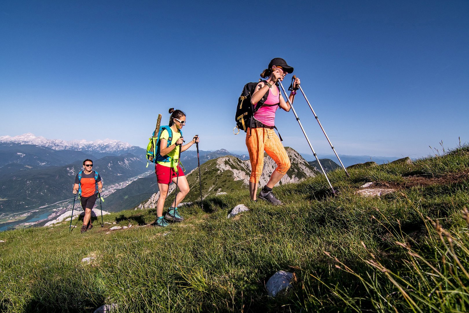
You will not conquer any mountain peaks on the long-distance hiking JULIANA TRAIL, but rather unique culinary, cultural, and historical experiences. You will walk alongside clear rivers, lakes, waterfalls, singing forests, exceptional trees hanging from overhangs or staring at the sky, colourful meadows and mountain flowers, and unusually shaped rocks. The 2nd and 3rd stages of the trail pass through the municipality of Jesenice.  

Total length: 270 km (basic round) + 60 km (additional 4 stages in Brda)
Total difference in elevation: 10,000 m ascent and 10,000 m descent
Total number of stages: 16 + 4
Average stage length: 17.5km (4-5 hours)

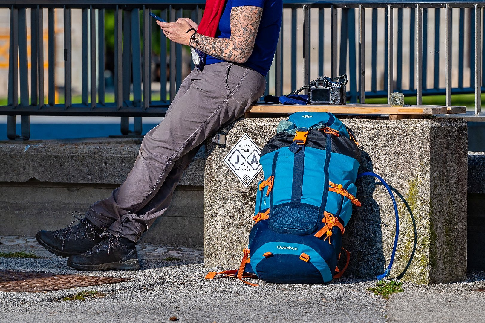
Ease your navigation with the free mobile app.

Julian Alps - hiking trails

Karavanke_Dan_8_Jost_Gantar__1_.jpg
Author: Jošt Gantar

Karavanke Trail

The Karavanke hiking trail is a long-distance trail that runs along the slopes of Karavanke and the valleys, with beautiful views of this diverse mountain range. The trail connects places and people that are part of the Karavanke mountain range into a unique hiking experience. It runs through easily accessible mountain areas, allowing us to explore the surroundings and experience natural features. Exploration allows you to meet locals, learn about old customs, discover mountain pastures, and experience the valley's wealth of everyday life during your hiking expedition. We will have spectacular views of the Sava valley, the Julian Alps, and the entire Upper Carniola region from the sunny slopes of the grassy mountains. This is a way of combining different feelings, beautiful views, a simple hiking experience, and a taste of life beneath the Karavanke Mountains. The 5th and 6th stages of the long-distance trail run through the municipality of Jesenice.

Total length: 143 km
Total difference in elevation: 4,703 m ascent and 4,812 m descent
Total number of stages: 7
Average stage length: 14 to 28 km

Primo_____enk_Karavanke_VELIKA__22__1_.jpg
Author: Primož Šenk

The Slovenian Mountain Trail

The Slovenian mountain trail begins in Maribor and travels through the Pohorje Mountains before descending to the Karst via the Kamnik-Savinja Alps, the Karavanke Mountains, the Julian Alps, and the Slovenian Alpine foothills, ending along the Adriatic Sea. The route is marked with the general marking of Slovenian mountain trails - the 'Knafelc' mark (red circle with a white dot) and the number 1.
It is Slovenia's longest and most popular transversal hiking trail, and it dates back to 1953, making it one of the oldest in Europe and the world. There are currently 80 checkpoints on the trail (mountain huts, peaks, museums).

The Slovenian Mountain Trail travels through the Jesenice area along the ridge of the Karavanke mountains from Stol to the checkpoint at the Koča na Golici mountain hut, and then descends into the valley to the Slovenian Alpine Museum in Mojstrana.

In addition to the Slovenian Mountain Trail, there are around 76 km of officially marked mountain trails in the area of Jesenice.

Via_Alpina_Ale___Ko__ir.jpg
Author: Aleš Košir

Via Alpina - The Purple Trail

This incredible hiking adventure, the Via Alpina, connects the vast Alpine and Mediterranean worlds across eight European countries. This spectacular long-distance hiking trail is divided into 161 stages overall, which run across Italy, Slovenia, Austria, Germany, Liechtenstein, Switzerland, France, and Monaco. It connects five international footpaths, numerous natural and national parks in the Alps region, interesting tourist spots, and the worlds of many diverse European cultures.

Stages 3 and 4 of the Purple Trail run through the Jesenice area, thus connecting the Julian Alps with the Allgäu region in Germany. Stage 3 takes us from Dovje to Koča na Golici mountain hut, and stage 4 continues to Prešernova koča mountain hut on Stol.